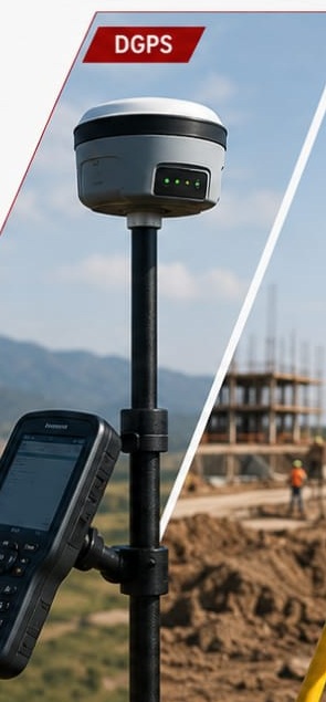
01 / POSITIONING
DGPS / GNSS / RTK
High-accuracy satellite positioning for coordinates, control points, topographical surveys and field mapping.
 WhatsApp
Call Us
SURVEY TECHNOLOGY
Modern surveying technology helps us capture accurate field data, understand terrain and transform measurements into reliable digital information for planning, construction and development.
OUR TECHNOLOGY
From satellite positioning to aerial mapping, we use a combination of modern surveying technologies to collect, process and deliver project data efficiently.
High-accuracy satellite positioning for coordinates, control points, topographical surveys and field mapping.
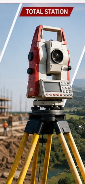
Precise angle and distance measurement for construction, topographical and detailed engineering surveys.
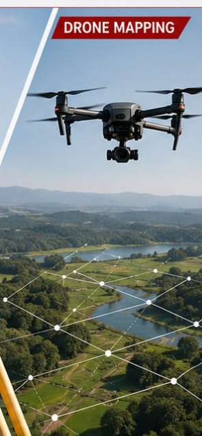
Aerial imagery and photogrammetry for orthomosaics, terrain models and 3D mapping.
01 / DGPS, GNSS & RTK
GNSS surveying allows survey points to be positioned using satellite observations. RTK workflows can provide highly precise real-time positioning when suitable correction data and field conditions are available.
02 / TOTAL STATION
Total stations combine angular and distance measurements to determine precise positions in the field. They remain particularly useful where line-of-sight measurements are required or satellite visibility is limited.
03 / DRONE PHOTOGRAMMETRY
Drone imagery can cover large areas efficiently. Photogrammetric processing converts overlapping aerial photographs into measurable digital mapping products.
FIELD TO DIGITAL
GNSS, total station and drone systems collect field information.
Survey control, coordinates and observations are checked.
Field data and imagery are processed into digital information.
CAD drawings, maps, surfaces and other project outputs are prepared.
HAVE A PROJECT TO SURVEY?